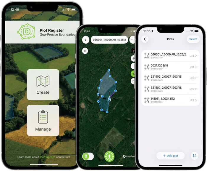
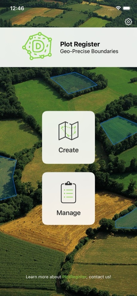
Mobile / Plot Register
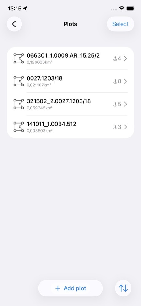
Precise plot management
fully offline
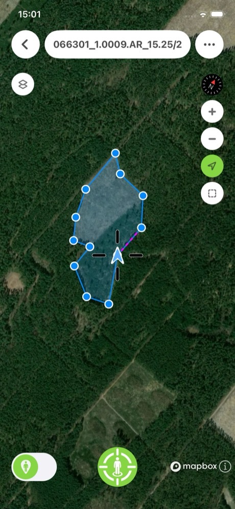
A precise, intuitive tool for creating, editing, and managing land plots directly on your map even in the most remote locations with no internet connection.